Parallel History in the District
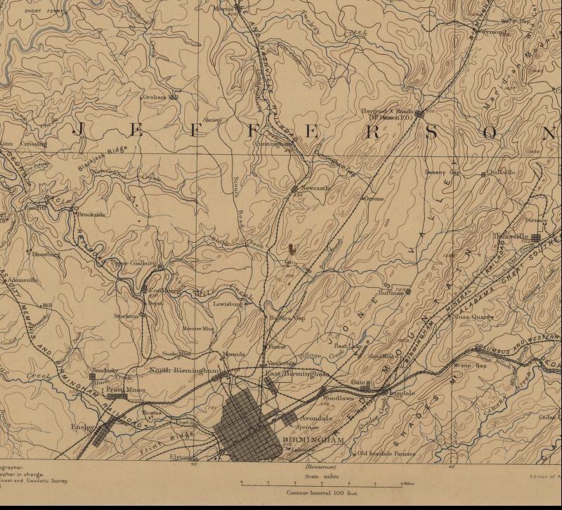
1892 30-minute map of the Mary Lee RR area
The early days of Birmingham were a struggle to develop resources, iron manufacturing, rail transportation systems, and markets. Early iron was made using charcoal, but it was quickly realized that to be competitive, iron would have to be made using coke. Coke is a nearly pure carbon material made by baking coal.
Early industrialists were not sure where to find good coking coal. In turn, without rail networks to mines, the number of sources of good coking coal were limited. So, in the 1870's and 1880's, the sources of coking coal were limited to areas served by the fledging railroads. So, focus was on the areas of North Birmingham/Central north Jefferson County, the areas served by railroads.
Even before the Civil War, and certainly after, geological surveys, coal exploration and mapping of coal seams began to make it clear that the coal reserves in the area of north central and northwest Jefferson County were very, very extensive. Although the economic cycles went from boom to bust and back again, slowly from 1872 to 1893 and on to 1907, the railroads were extended, and the coal fields were developed.
It seems to me that it is important to notice that the L&N and the Georgia Pacific (later Southern RR, now Norfolk Southern) were already serving these early coal developments. As later coal mining developed in the western parts of Jefferson County, these two railroads along with the Kansas City, Memphis and Birmingham (later Frisco) would provide service to these properties. One may divide the west Jefferson properties by the railroads that served them. This comes later in the story.
Once it was determined that coking coal was available in the vast coal seams west of Birmingham, there was a period of coal property development, merger and acquisition. This began to shake out by the 1890's as outlined above.
Map Study of the Mary Lee RR, continuing the history of the Mary Lee RR. Previous page.