Mary
Lee Mine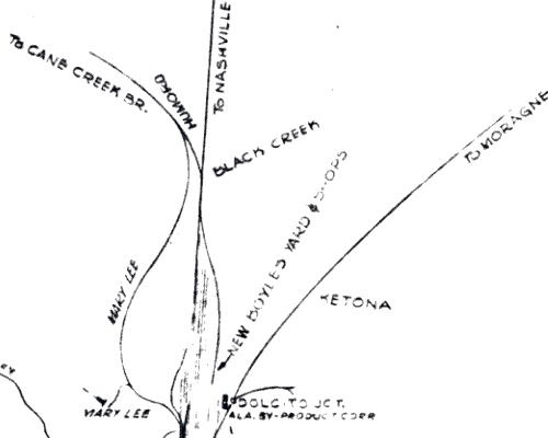
c. 1960 Map
This map is titled "Railroad Connecting Lines in the Birmingham, Alabama, Mineral District, R-3249. (I think it is a TCI map.)
The map is not dated, but based on several factors including "new" Boyles Yard, which opened in 1959, references to USP&F Co. rather than Sloss (1952-1969), and references to Federal Barge Line RR (1953-1966), the map is dated to between 1959 and 1966, more or less.
So, between 1935 and 1950 or '54, was the line extended north to connect to the Cane Creek Branch, or was it there all along?
Note that this map shows a symbol at the Mary Lee which (from the legend of the original) indicated the location and direction of the slope.