T C I & RR Co.
Tennessee Coal, Iron and Railroad Company
TCI as it was known locally was acquired by United States Steel Companies in 1907, as a result of a financial panic that threatened to topple the investment house of J. P. Morgan. Prior to this time, TCI had become a fierce competitor of the Pittsburgh steel companies. This was due to the remarkable proximity of all the natural resources needed to make steel, located within a few miles of the mills in Birmingham.
As soon as U S Steel acquired TCI properties, they placed an internal tariff on Birmingham products, which essentially fixed the price to eliminate the competitive price advantage of Birmingham products. It is difficult to say what impact this had on Birmingham. On the one hand it eliminated a unique advantage the District had in the steel market, but on the other hand, U S Steel continued to make major investments in capital plant in Birmingham, building the Fairfield Works after the merger. For an impressive list of the company's accomplishments, see:
Capital Improvements and Development of TCI - U S Steel in Birmingham
It seems to me that history proved that the Birmingham tariff eventually became moot, since the local iron ores in Birmingham eventually proved inferior for modern steel making. The last iron ore mined in Birmingham was produced about 1970 at the Pyne Mine, a deep mine located east of Red Mountain. Today, neither iron ore nor coal for steel making in Birmingham is provided locally. Iron is imported, often from overseas, as is coal, through Birmingport, Alabama, located west of town, and served by the Birmingham Southern RR.
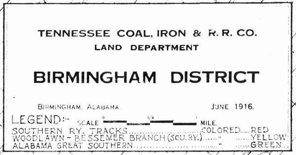 There
is an interesting map, dated 1916, prepared by the Tennessee Coal, Iron and RR
Co., Land Department. Clicking on this link will take you to a view of
this map. Like many maps of the Birmingham area, this map is oriented with
the long axis along the Jones Valley (SW to NE), the valley where the original
development of Birmingham occurred. This valley is located north of Red
Mountain, running roughly on a southwest to northeast diagonal line, so north is
up and to the right.
There
is an interesting map, dated 1916, prepared by the Tennessee Coal, Iron and RR
Co., Land Department. Clicking on this link will take you to a view of
this map. Like many maps of the Birmingham area, this map is oriented with
the long axis along the Jones Valley (SW to NE), the valley where the original
development of Birmingham occurred. This valley is located north of Red
Mountain, running roughly on a southwest to northeast diagonal line, so north is
up and to the right.
1916 Map of the Birmingham District
Certain parts of the map have "hotspots" that allow you to click and see a portion of the map at a larger scale. Explore the map with your cursor and you will notice when the cursor changes. Look for Muscoda, near Bessemer, to find a link to the Muscoda mining area on Red Mountain.
This process continues on the next map view page, which will allow you to zoom in on selected areas to view one "section" of the map, which is a square that is about 1 mile on a side. As you explore these map segments, you will see that they have been rotated so that the "township/range" grid has been squared. This makes north straight up.
As this section of the web page is developed you will be able to navigate the 1916 map in the same way that you can the 1935 Rail Map located elsewhere in this web site.
Additional resources on this industrial mainstay of the Birmingham economy for many years follows: